Download
1 / 21
210 likes | 369 Views
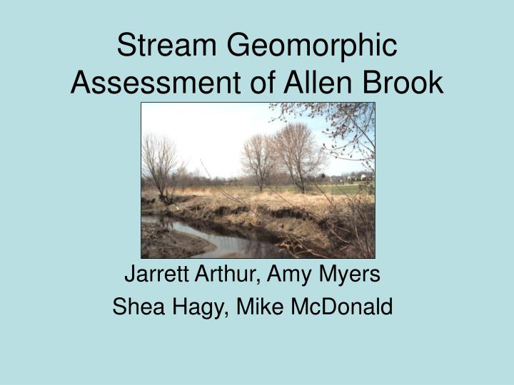
Stream Geomorphic Assessment of Allen Brook. Jarrett Arthur, Amy Myers Shea Hagy, Mike McDonald. Allen Brook. Watershed drains 12 sq. miles Flows into Winooski after meeting Muddy Brook. Characteristics of Impairment. Presence of pathogens

E N D
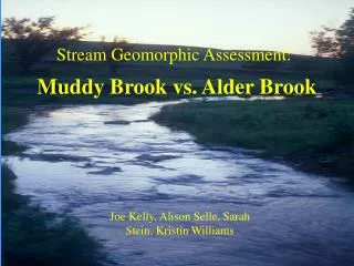
Stream Geomorphic Assessment of Allen Brook Jarrett Arthur, Amy Myers Shea Hagy, Mike McDonald
Allen Brook • Watershed drains 12 sq. miles • Flows into Winooski after meeting Muddy Brook
Characteristics of Impairment • Presence of pathogens • High concentration of suspended solids • Bank failure, erosion • Lack of adequate riparian buffer zone • Channelization leading to decrease in natural stream hydrological features such as pools and riffles
Methods Phase One Steps Phase Two Steps Rapid Geomorphic Rapid Habitat Assessment Assessment
M3T3.11 • Culvert • Dense Sprawly Surroundings • Buffer Reclaimed • Field Grass • Golden Rod • Deep Plunge Pool • Braided Channel
M3T3.10 • Buffers Widen • Braiding Ends • Cobbles and Boulders • Bank Failure provides Coarse Woody Debris • Channel migration • Undercutting • Point bars • Channel Widening
M3T3.9 • Transition Zone • Degrad. and Aggrad. Present Throughout • Banks Flat and Broad • Wetland Area on Lower Portion of Right Bank • Left Bank Supports Larger Trees • Beds Still Dominated by Cobbles but Embeddedness is Occuring
M3T3.8 • First Impaired Reach • Area Surrounding the right bank is wetland • There is a large pond within 20 feet of the stream bank • Less Trees throughout reach • Right Buffer Gets Thinner Downstream • Old Farm Field Creeping in on Left Bank • Embeddedness Occurs Throughout • Erosion occurrs on the outside of meanders.
M3T3.7 • Dramatic Deterioration From Previous Reach • Buffers become nonexistent • land appears to have been cleared for farm pasture or crop • field grass is dominant species • The right bank is very wet and even has intermittent hydric soils. • Willow Grows Thinly in the Stream Channel • Streambed is Sand • Evidence of Head Cutting Exists • Incision is Dominant Force • Right Bank has Some Hydric Soils
M3T3.6 • Final Assessed Reach • Begins and Ends at a Road Crossing with a Culvert • Surrounding Landscape is Flat • Reach is Deeply Incised • Broad Meander Migration Occurring • Streambed is Mostly Sand only Broken by Litter • Prevailing Land use is Suburban Residential Development • Prior to development, farmland predominated • The resulting ground cover is uniform field grasses.
Results Figure 1. Rapid Habitat Assessment of impaired reaches compared to the attainment reaches – Allen Brook, 2004.
Figure 2. Rapid Geomorphic Assessment of impaired reaches as compared to attainment reaches – Allen Brook, 2004.
Figure 3. Rapid Habitat Assessment compared to the watershed condition on all six reaches – Allen Brook, 2004.
Figure 4. Rapid Geomorphic Assessment compared to the watershed condition on all six reaches – Allen Brook, 2004.
Figure 5. Rapid Habitat Assessment scores compared to the Rapid Geomorphic Assessment scores for all six reaches – Allen Brook, 2004. R2=.9529
Conclusions • Our impaired reaches are significantly more degraded than our attainment reaches both in terms of geomorphic processes and habitat suitability • The degree of impairment in all of our reaches increases in severity the further downstream the reach is located. • Current land development surrounding Allen Brook combined with the historic use of land for agricultural purposes has caused the health of the brook to decrease and the abundance of native aquatic life to suffer. • Assessment of stream condition using the ANR stream geomorphic protocols correlated to assessment using biocriteria.
Recommendations • The implementation of soft engineering to stabilize failing banks may be able to reduce further degradation and erosion. • The restoration of a riparian buffer of adequate width will help reduce runoff volume, velocity, increase nutrient retention, provide shading, and habitat. • Best Management Practices (BMPs) will help reduce the detrimental effects of surrounding agricultural and residential land.
Acknowledgements Special thanks to Bill Gill in the library for all the help, especially at ridiculous hours of the night, and to Breck Bowden for advice and guidance throughout the whole process.