Download
1 / 9
90 likes | 95 Views
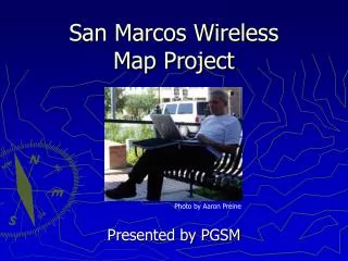
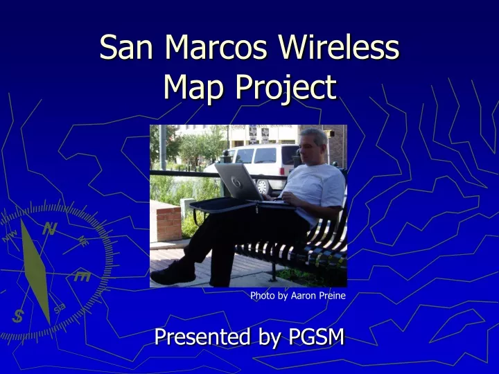
San Marcos Wireless Map Project. Presented by PGSM. Photo by Aaron Preine. San Marcos Wireless Internet. Expanding Community Rising University Enrollment Middle of San Antonio – Austin Corridor. Wireless Technology Increased reliability/range Rapidly growing popularity/demand.

E N D
San Marcos Wireless Map Project Presented by PGSM Photo by Aaron Preine
San Marcos Wireless Internet • Expanding Community • Rising University Enrollment • Middle of San Antonio – Austin Corridor • Wireless Technology • Increased reliability/range • Rapidly growing popularity/demand
San Marcos Wireless Internet Photo by Aaron Preine
Objectives • Create a map displaying the current wireless internet networks in San Marcos, Texas • Business (small and large) • Residential • Educational • Analyze relationships between population demographics such as income and age • Recommend areas for new wireless networks
Data Collection / Sources • Primary data collection for the network map • Secondary data collected from various legitimate sources • Capitol Area Council of Governments (CAPCOG) • Capitol Area Planning Council (CAPCO) • U.S. Census Bureau • Creating our own metadata (data about data)
Projections • We will use the same map projection for all aspects of the project for purposes of continuity • Covering small area • Central Texas NAD83 State Plane Zone
Methodology • Travel San Marcos with GPS units connected to wireless internet capable laptops • Collect existing wireless network locations • Netstumbler • Create a database of locations using Microsoft Access/Excel • Use ArcGIS to create a map of the networks to determine new locations for networks
Project Quality • Research • Data has good quality control due the majority of primary data • Secondary data from government sources • Results • Quality results will be derived from the precision and accuracy of our instruments and our attention to geographic detail • Findings • Are dependent upon the quality of our research and results
Conclusion • A wireless network map of San Marcos would be beneficial to both San Marcos and HooDooNet Inc. because it will show where services are needed and future clientele • -add another statement-