Download
1 / 50
500 likes | 506 Views
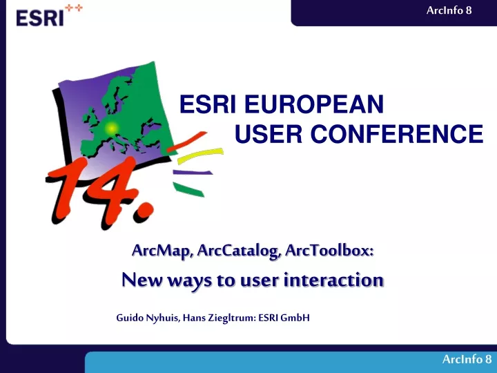
ESRI EUROPEAN USER CONFERENCE. ArcMap, ArcCatalog, ArcToolbox: New ways to user interaction. Guido Nyhuis, Hans Ziegltrum: ESRI GmbH. ArcInfo 8. Interaction in ArcInfo 8 Workstation Command Line AML Applications ODE Interaction in ArcInfo 8 Desktop ArcToolbox ArcCatalog ArcMap.

E N D
ESRI EUROPEAN USER CONFERENCE ArcMap, ArcCatalog, ArcToolbox: New ways to user interaction Guido Nyhuis, Hans Ziegltrum: ESRI GmbH ArcInfo 8
Interaction inArcInfo 8 Workstation • Command Line • AML Applications • ODE • Interaction inArcInfo 8 Desktop • ArcToolbox • ArcCatalog • ArcMap Contents
Interaction in ArcInfo 8Workstation ArcInfo 8 Workstation
Arcplot example:routehatch Command Line • Arc Prompt ArcInfo 8 Workstation
AML • AML Application • ArcTools ArcInfo 8 Workstation
ODE • Open Development Environment ArcInfo 8 Workstation
ArcInfo 8:Workstation and Desktop ArcInfo 8: Workstation and Desktop
ArcInfo 8 Workstation Arcplot Server Desktop Lic Mgr ArcMap Arcedit ArcStorm ArcCatalog ArcSDE Arc ArcToolbox UNIX and NT Windows NT ArcInfo 8: Workstation and Desktop
ArcInfo 8 Desktop:3 Applications ArcInfo 8 Desktop: 3 Applications
ArcToolbox • GUI for Arccommands(coverage processing) • Data conversion • Geoprocessing server client ArcInfo 8 Desktop: 3 Applications
ArcCatalog • Data Browser • Graphical • Textual • Data Manager • Schema editor for GeoDatabase • Set and view metadata ArcInfo 8 Desktop: 3 Applications
ArcMap • Perform map-basedtasks • Mapping • Editing • Query/Analysis • Charting • Reporting ArcInfo 8 Desktop: 3 Applications
ArcToolbox ArcToolbox
Structure • Four main toolsets • Data Management Tools • Analysis Tools • Conversion Tools • My Tools • Tree is only 3 levels deep – easy to find toolyou want ArcToolbox
Toolset help Menus Application Wizards Tools User Interface ArcToolbox
Wizard • Execute Arc Command • Multiple panels • Explanation and guidance • Helpful graphics • Smart defaults • Create AML ArcToolbox
Tool • Execute Arc Command • One panel • Show applicable options • Provide defaults(e.g. tolerance) • Less explanation • Command name • Help • Create AML • Send remote job ArcToolbox
ArcCatalog Drag & Drop Intersect tool Data browser Entering your data pz_top Type in ArcToolbox
Server Client • ArcInfo Workstation • ArcInfo Desktop • ArcInfo Workstation on • Unix • Windows NT TCP/IP Remote Processing • Process Arc commands or AMLs from a client • Setup server • Setup client • Start service • Data access for server ArcToolbox
Manage jobs • Connect to server Remote Processing • Open Remote Processing window ArcToolbox
Customization Change Toolboxappearance • Show what is needed • executables • dlls Add customtools ArcToolbox
ArcCatalog ArcCatalog
Remember the Tasks • Data Browser (Graphical or textual) • Data Manager • Schema editor for GeoDatabase • Set and view metadata ArcCatalog
Catalog tree Contents panel Context menus Graphical User Interface ArcCatalog
CAD drawing Coverage GeoDatabase Map file Layer file Raster file Shapefile Tin Database connections Coordinate systems Catalog Tree Icons identify data type • Detailed information • Path • Folders • Files • Type of datasource • Feature type • Databaseconnections • Access tocoordinate systems ArcCatalog
Contents Panel • View data in unique ways • Contents tab • Preview tab • Metadata tab Contents panel ArcCatalog
Contents Tab • Large icons • List • Details ArcCatalog
Contents Tab • Thumbnail View • Layers • Maps ArcCatalog
Preview Tab • Geography or Table view • Choose from pull-down menue • Explore data ArcCatalog
Metadata: Information about data • Types of metadata in ArcCatalog • Properties • Documentation • Create metadata • Attach from exiting files • Write with metadata editor ArcCatalog
Metadata toolbar Metadata • Metadata • Created and updatedby ArcInfo and the user • Metadata tab to view • Availablestylesheets • XML • FGDC • ESRI • Custom ArcCatalog
Metadata • ESRI Stylesheet • Types of Information • Description • Spatial • Attributes ArcCatalog
Metadata • Editing metadatadocumentation • Edit individual fields ArcCatalog
New Graphical User Interface • Analysis with ArcMap • Charts, Statistics, Reports • Mapping • New Editing Functionality ArcMap
New Graphical User Interface New Graphical User Interface
Menus • Buttons • Tools New Graphical User Interface
Tables • Magnifiers • Overviews New Graphical User Interface
Table of content New Graphical User Interface
Mapping • Map Tips • Labeling • Symbolization Mapping
Symbolization Mapping
Analysis with ArcMap Analysis with ArcMap
Analysis • Selection • Buffer • Overlay Analysis with ArcMap
Charts, Statistics, Reports Charts, Statistics, Reports
Charts • Statistics • Reports Charts, Statistics, Reports
New Editing Functionality New Editing Functionality
Distance-Distance Tool • Adds a vertex at given distances from two points Radius = 40 Radius = 55 New Editing Functionality
True curves and parametric geometry (e.g., tangent curves) Arc Length Chord Delta Angle Radius Previous segment Right New Editing Functionality
Coverage Shapefile Geodatabase (SDE) • You can edit • Geodatabases (SDE) • Shapefiles • Coverages New Editing Functionality
Conclusion • ArcInfo 8 - Desktop • Powerful GIS tools • Easy to use • Simple to learn ArcToolbox, ArcCatalog, ArcMap