Download
1 / 17
170 likes | 269 Views
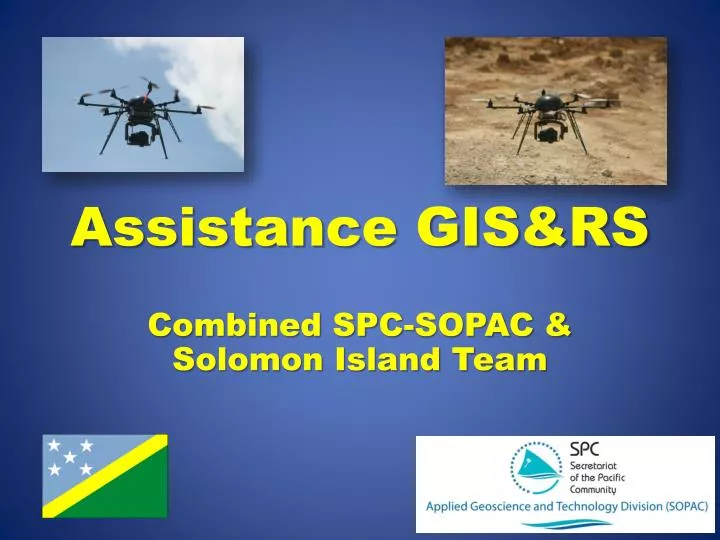
Assistance GIS&RS. Combined SPC-SOPAC & Solomon Island Team. Targets of Data Capture. Mataniko river bed April ridge Water dam Mining site. UAV Image Recording. Flight planning Copying data to UAV Flying Data extraction. Image Processing. Image stitching Geo-referencing

E N D
Assistance GIS&RS Combined SPC-SOPAC & Solomon Island Team
Targets of Data Capture • Mataniko river bed • April ridge • Water dam • Mining site
UAV Image Recording • Flight planning • Copying data to UAV • Flying • Data extraction
Image Processing • Image stitching • Geo-referencing • Geometric correction
Image Data Storage& Exchange • New image data and interpretation -> SPC Office • Image interpretation to SPC-SOPAC • External hard drive as buffer
Image Interpretation • Analysis QuickBird data 2008 • Delineation flood extent 2014 Team was working parallel to image data capture
Mapping • One team for recording • One team for mapping • Results after 4 days
Left Over Mine Camp • Possibly left over explosives • Definitely dangerous chemicals • Documentation required
Results: • Image data of Mataniko river recorded & available • Mataniko flooding area available • DSM recorded for dam • Image data April ridge processed • Contour lines of April ridge • Image documentation of mine site • External drive in SPC office • Image database