Download
1 / 15
150 likes | 240 Views
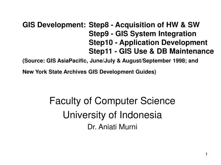
GIS Development: Step8 - Acquisition of HW & SW Step9 - GIS System Integration Step10 - Application Development Step11 - GIS Use & DB Maintenance (Source: GIS AsiaPacific, June/July & August/September 1998; and New York State Archives GIS Development Guides).

E N D
GIS Development: Step8 - Acquisition of HW & SW Step9 - GIS System Integration Step10 - Application Development Step11 - GIS Use & DB Maintenance(Source: GIS AsiaPacific, June/July & August/September 1998; and New York State Archives GIS Development Guides) Faculty of Computer Science University of Indonesia Dr. Aniati Murni
GIS Development Cycle The GIS development cycle is based on the philosophy that one first decides what the GIS should do and then as a second activity decides on how the GIS will accomplish each task. Needs Assessment Conceptual Design Database Planning and Design Database Construction Available Data Survey GIS Use and Database Maintenance GIS System Integration Application Development Pilot / Benchmark Acquisition of GIS HW and SW HW and SW Survey
Step 8: Acquisition of GIS HW and SW (1) • This step includes the final selection of the hardware and software (by competitive bid in response to a Request For Proposal - RFP), the delivery and installation of the hardware and software, space renovation, wiring, and environment modeling. • This step is the actual purchase of the GIS hardware and software. It should be looking for the best value for our money, not the lowest cost, and no politicking.
Step 8: Acquisition of GIS HW and SW (2) • The system configuration consists of various devices that will be networked together to support data capture, storage, processing and display in both digital and hard copy forms, including (a sample of hw specifications): • mapping analysis workstations (2); • color printer (1); • black and white laser printer (1); • cartridge tape / CD driver (1); • color raster plotter (1). If it is required, network and communications specifications should also be included.
Step 8: Acquisition of GIS HW and SW (3) • The GIS hardware and software should provide full functionality for entry, editing, maintenance, analysis, display, and hard copy output of both graphics and tabular data on a continuous and interactive basis. • Software component capabilities can be grouped into the following functional categories: • Database structure; • User interface; • Data entry; • Data editing/maintenance; • Data query and analysis; • Data display / output; • Application development; • Operating System requirements.
Step 8: Acquisition of GIS HW and SW (4) • Data Query and Analysis: • Graphic Data Query • Area / Perimeter / Distance Calculation • Attribute Data Query • Spatial Aggregation • Polygon Overlay • Database Structure: • Feature Type (PLA & • Text) • Data Storage (double • precision of x and y • coordinates) • Data Type (support • multiple graphics and • non-graphic data type) • Database Organization • (DBMS, Relational) • Application Development: • Menu Design and Custome • Application Development • Programming Features • Support High-Level (4GL) • Programming • Subroutine Library
Step9 - GIS System Integration • The vendors responsible for providing the organization with one integrated system (software and hardware). • The users responsible for building a master database or library (database integration) and integrating the database with the GIS hardware and software. • System integration: Hardware Editing Database System Delivered System Integration Software Data Integration Network
Step 10: GIS Application Development (1) • ”Application” is a general term covering all things that “go on” in a GIS. • There are 3 types of application: • Database applications: These are all the functions needed to create, edit, build, and maintain the database, which should be under the control of a database administrator (process can be carried out by GIS system staff or the users). • User applications: GIS can provide many simple applications (e.g. map display, data query, etc.). • More complex applications: specific application which needs to be developed using a macro-programming language (e.g. Avenue in ArcView).
Step 10: GIS Application Development (2) Application development is not rewriting the GIS software, but instead custom application to meet specific needs. • Simple application such as display, query, map display can be satisfied by the normal functionality that is included in most commercial GIS. • Complex application may require development using the GIS macro programming language. • In complex application development may require additional techniques including structural analysis and programming and rapid prototyping.
Step 10: GIS Application Development (3) Life Cycle of a GIS Database: Source Documents Source Documents: Maps, Images, Air Photos, etc. Data Objects Identified During Needs Assessment Preparation of Data Model Match Needed Data to Available Data and Sources Survey and Evaluation of Available Data Prepared Detailed Database Plan Map and Tabular Data Conversion Create Initial Metadata Add Record Retention Schedules to Metadata Database QA/QC Editing GIS Database Continuing GIS Database Maintenance Database Backups Archives (courtesy of New York State Archives)
Step 10: GIS Application Development (4) • Database set up (part of system integration); • Database management; • Database maintenance; • Data archiving and retention. Database Applications:
Step 10: GIS Application Development (5) Menu Generator Facility Script /Macro Language Facility DialogInputTitikTabelOpen ‘tampilkan dialog DialogInputTitikTabel tepat di tengah layar’ AVUpperLeft = av.ReturnOrigin AVCenter = avUpperLeft + (av.ReturnExtent / (2@2) halfDialogWidthHeight = self.ReturnExtent.ReturnSize / (2@2) MovePoint = AVCenter - halfDialogWidthHeight self.MoveTo(MovePoint.GetX,MovePoint.GetY)
Step 10: GIS Application Development (6) Kawasan Industri Palawija di Lampung Utara Upper Slope Plateau or Terrace Lower Slope Deep Ocean Rise
Step 11: System Use And Maintenance (1) • Most GIS database are very dynamic, changing almost daily. • Users will immediately think of additional applications that they would like to have developed. • Formal procedures for all maintenance and updating activities need to be created and followed by GIS system staff and users to ensure continued successful operations of the GIS.
Step 11: System Use And Maintenance (2) • Overview of GIS Maintenance GIS and Database System Enhancement Database Expansion Routine System Request Maintenance Additional Functionality Additional Attributes Problem/Error HW and SW Upgrades New entities Bug Fixes New Tech. (GPS) Expanded Spatial Extent Database Updating Benefits Costs GIS can do more (satisfy) Cost of enhancement Additional sharing (data) GIS & user staff retraining Improved performance More for GIS staff System down time