Download
1 / 12
120 likes | 202 Views
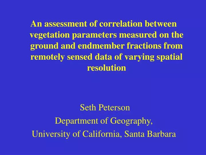
An assessment of correlation between vegetation parameters measured on the ground and endmember fractions from remotely sensed data of varying spatial resolution Seth Peterson Department of Geography, University of California, Santa Barbara. Acknowledgements: USFS - 4 years of funding.

E N D
An assessment of correlation between vegetation parameters measured on the ground and endmember fractions from remotely sensed data of varying spatial resolution Seth Peterson Department of Geography, University of California, Santa Barbara
Acknowledgements: USFS - 4 years of funding
Presentation Overview 1) Fire / fuel loads 2) SMA 3) Sample Endmember fractions 4) MESMA 5) Sample Endmember fraction / biomass correlations
Why is fire important? • Fuel loads have increased • Urban encroachment into wildlands • These processes may be different for different ecosystems (study sites are in 5 western states)
How can we study fire fuel loads? • Massive amounts of ground-based sampling • Small, well-designed ground-based studies to calibrate large area remotely sensed scenes - Correlate different indices and products from image processing techniques with ground-based data
Spectral Mixture Analysis (SMA) • Expresses pixel values as mixtures of the scene components, • called endmembers (EMs) • Typical EMs used are: • green vegetation (GV -- e.g. green leaves) • nonphotosynthetic vegetation (NPV -- e.g. bark, branches, litter) • rocks, soils • shade
GV NPV Landsat TM imagery for MCAS Miramar with Endmember fraction images Soil Shade
ADARdata, 1 m pixels Landsat TM data, 30 m pixels The mixed pixel problem / Endmember analysis GV Soil NPV
GV soil soil NPV shade shade GV Feature space plots for the MCAS Miramar Landsat TM scene, with approximate EM locations Band 7 Band 4 Band3 Band4
soil_2 NPV_2 Band 7 soil_1 NPV_1 shade_photo GV_2 GV_1 shade_phyto Band4 Multiple Endmember SMA (MESMA) • - Allows for flexibility in the number of EMs used to model each pixel • - Allows for flexibility in the type of EMs used to model each pixel • Modeled EM fractions will be most accurate when the fewest, • most appropriate EMs are used to model each pixel
GV NPV Soil Shade EM Fractions vs. time for stands of chamise chaparral
Summary Fire is a problem Remote Sensing is one way to look at it