Download
1 / 14
140 likes | 300 Views
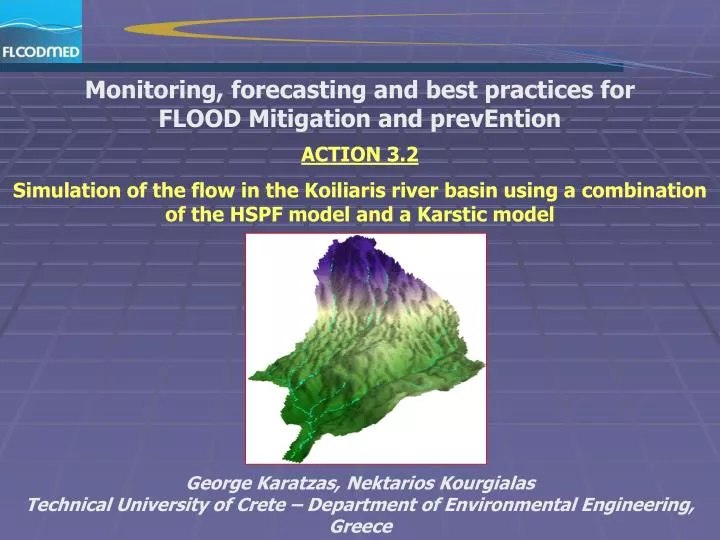
Monitoring, forecasting and best practices for FLOOD Mitigation and prevEntion ACTION 3.2 Simulation of the flow in the Koiliaris river basin using a combination of the HSPF model and a Karstic model . George Karatzas, Nektarios Kourgialas

E N D
Monitoring, forecasting and best practices for FLOOD Mitigation and prevEntion ACTION 3.2 Simulation of the flow in the Koiliaris river basin using a combination of the HSPF model and a Karstic model George Karatzas,Nektarios Kourgialas Technical University of Crete – Department of Environmental Engineering, Greece
STUDY OF AREA The Koiliaris River is located in the Prefecture of Chania.The area of the Koiliaris River basin has been calculated to be about 130 km2 The aim of this presentation is the simulation of the flow in the Koiliaris river basin using a karstic model and a hydrology model • GIS - (Arc View 9.2) • Stochastic Karstic model • BASIN – HSPF
STUDY OF AREA AND HYDRO- METEOROLOGICAL NETWORK Currently in the river basin 3 hydrometric and 3 meteorological stations are in place. Apart from the meteorological station of Kalibes, which is close to the river and the hydrometric station of Agios Georgios that was installed in 2005, 2 extra telemetric hydrometric and 2 extra telemetric meteorological stations have been installed into the basin of Koiliaris Kalibes Agios Georgios Samonas Stylos Psixro pigadi Faraggi
GEOLOGY OF THE KOILIARIS RIVER BASIN The main volume of water is discharged from the karstic system of White Mountains (Lefka Ori) through springs, streams and temporary rivers The Stylos springs are considered the major discharge points of the karstic system of the area and one of the main water sources of the Koiliaris River
STOCHASTIC MODELING OF THE KARSTIC SYSTEM STOCHASIC KARSTIC MODEL OFMAILLET The reason we chose Maillet’s model is that it has physical meaning, it is based on the hydrologic balance equation during the recession (no rain) period and it assumes that the springs discharge at specific points, (which is the case of Stylos springs) The analysis above suggested the existence of “two reservoirs” within the Karstic system; the upper reservoir with a faster response and the lower reservoir with a slower response A ‘two part’ Maillet model was developed representing the upper and lower reservoirs The model has the following formulation Q = (1-αLower)*Qup+ QLower Where Q is the total spring discharge, QupandQ Lowerare the initial discharge contributions of the upper and lower reservoirs respectively, QIN is the initial discharge that enters in karstic system, Δt is the time step equal to 1 day, α upand αlowerare the recession coefficients of the upper and lower reservoirs
GENERAL: THE HSPF MODEL Advantages • HSPF is one of the most complex hydrologic models • It gives the possibility of simulation not only for the hydrology but also for the biogeochemical activities that take place in the river • It takes into consideration the interaction with the sediment • it is based on the environment of GIS and it can simulate better regions with intense topography • it has an hourly step that is essential for regions where variables as the temperature and the humidity are presented in an hourly base • HSPF is available without any financial cost from the EPA • Extensive experience of simulation of flow by HSPF in America is already in hand, as well as, experience with regards to the possibilities, the advantages and the problems that the model presents by its application in the Mediterranean countries
Characteristics • It separates the basin in permeable or not departments, in the river and in tanks, 1D simulation • The flow is calculated with the equation of Chezy - Manning. It considers cross-correlation of surface flow with the depth of detention storage The parameters of the river are defined by the user and fixed in the Function Table (FTABLE) Trapezoid cross-section of river and main geometric parameters of this • The hydrologic model of HSPF functions in the frame of BASINS
BASIN – HSPF MODEL BASIN 4 Input data inserted by GIS Land use , Digital Elevation Model (DEM) Hydrographic network, Soil, Geology Watershed Delineation The Koiliaris river basin is separated into 6 subbasins 1 2 3 For the HSPF simulation 3 subbasins have been chosen
BASIN – HSPF MODEL Period of simulation The available data were for the time period [09/01/2006 – 01/05/2007] WDM Util The necessary meteorological data are: ATEM = Hourly temperature DEWP= Hourly dew point temperature SOLR= Hourly solar radiation WIND= Hourly wind speed PREC= Hourly precipitation PEVT= Hourly potential evapotranspiration EVAP= Hourly evaporation Optional input data: Observation flow (for the calibration) Flow data from springs (by karstic model)
BASIN – HSPF MODEL HSPF - run This picture presents the environment of HSPF and the 3 departments that have separated the river with the corresponding uses of land per subbasins
BASIN – HSPF MODEL The sub-model Scenario Generator (GenScn) where the analysis of results of HSPF is taking place The results of the hydrologic simulation are presented in this environment where the comparison between the observed field time series and the model output data produces a statistical analysis of the results
BASIN – HSPF MODEL HSPF - OUTPUT The model simulation of the flow in subbasin 2 The model simulation of the flow in subbasin 3
BASIN – HSPF MODEL The model flow of the Koiliaris riverat the location ‘Agios Georgios’ (subbasin1) and comparison with the field data
THE NEXT STEP… The simulation of the Koiliaris river with HSPF is on a preliminary stage and some parameters have not yet been calibrated. An essential problem that exists is that no field flow data for all the subbasins or meteorological data for the whole of the basin are available However with the installation of the new meteorological and hydrological stations, that were presented earlier, the calibration of the HSPF will become feasible Thank you for your attention !