Download
1 / 14
140 likes | 479 Views
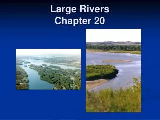
Large Rivers of Louisiana. Exploring the Mississippi River. The Mississippi River flows down the eastern border and enters Louisiana just above Angola. It continues south until it reaches the Gulf of Mexico. It is our most Important river and is sometimes

E N D
Exploring the Mississippi River The Mississippi River flows down the eastern border and enters Louisiana just above Angola. It continues south until it reaches the Gulf of Mexico. It is our most Important river and is sometimes Called the “Father of Waters”. Atlantic Ocean Mississippi River Pacific Ocean Gulf of Mexico
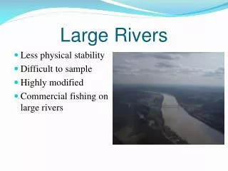
Interstate 10 bridge passes over the Mississippi River in Baton Rouge. Mississippi River The Mississippi River is busy with barges transporting goods. Aerial view of commerce on Mississippi River, Downtown Baton Rouge.
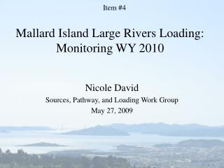
Exploring the Atchafalaya River The Atchafalaya River is a main Branch of the Mississippi River. Mississippi River Red River Atlantic Ocean The northern part meets with the Red River. It spreads into many Streams and lakes south of Krotz Springs and finally reaches the Gulf of Mexico. Pacific Ocean Gulf of Mexico Atchafalaya River
Ariel View of Atchafalaya River Basin (It resembles a chicken’s foot) Ariel View Atchafalaya River Atchafalaya River Atchafalaya River Bridges
Exploring the Red River The Red River flows from Texas Into northwest Louisiana. Mississippi River Red River It flows through central Louisiana and into the Mississippi River. It is called the Red Riverbecause of its muddy color. Atlantic Ocean Pacific Ocean Gulf of Mexico Atchafalaya River
Ugh! Gross! Would you want to swim in that? Red River Photo from starting point in the state of Arkansas.
Exploring the Sabine River The Sabine River flows from northeast Texas turning south to form the southwestern border of Louisiana. Mississippi River Red River Atlantic Ocean Sabine River Pacific Ocean Gulf of Mexico Atchafalaya River
Exploring the Pearl River The Pearl River flows from northeast Texas turning south to form the southeastern border of Louisiana. Mississippi River Red River Atlantic Ocean Sabine River Pearl River Pacific Ocean Gulf of Mexico Atchafalaya River
Pearl River Check out the Cypress Tree with the moss hanging from it. Isn’t this our “state tree”?
Exploring the Ouachita River The Ouachita River begins in western Arkansas and flows east and then south into Louisiana. Ouachita River Mississippi River Red River Atlantic Ocean Sabine River Pearl River Pacific Ocean Gulf of Mexico Atchafalaya River
Ouachita River