Download
1 / 35
350 likes | 729 Views
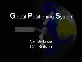
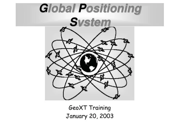
G lobal P ositioning S ystem. GeoXT Training January 20, 2003. Training Provided by. Information Center for the Environment University of California, Davis. Instructor: Sky Harrison. SWAP Training Objectives.

E N D
Global Positioning System GeoXT Training January 20, 2003
Training Provided by Information Center for the Environment University of California, Davis Instructor: Sky Harrison
SWAP Training Objectives Provide sufficient written, hands-on, and field training to fulfill the GPS component of the Drinking Water Source Assessment Program • Obtain general knowledge of fundamental GPS concepts • Become familiar with the basics of operations of the Trimble GeoXT • Become comfortable with the GPS data collection process designed for the SWAP program
DHS Objectives • Collect accurate locations for all public drinking water sources in California • Integrate data collection into normal daily work routine • Standardize data collection • Make it easy!
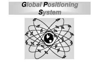
What is GPS? The Global Positioning System (GPS) is a precise worldwide radio-navigation system, and consists of a constellation of satellites and their ground stations, operated and maintained by the US Department of Defense (DoD).
User How Does it Work? The GPS Segments Space Colorado Springs Control
Space Segment • 24 satellites in 6 inclined orbits • 4 satellites per orbit - 12 hour revolutions • 12,600 miles (20,000 km) altitude
U S Air Force Control Segment • Managed by the U.S. Air Force • 4 monitoring and 3 upload stations • Daily ephemeris (location) updates • Transmits clock and orbit corrections • Disable use of satellites • Degrade accuracy of the signals
User Segment • U.S. Military • Civilian shipping • Scientific high accuracy applications • Resource managers (GIS data capture) • Survey and mapping control
What is GPS Used For? Applications Point Features Line and Area Features Navigation GIS Data Capture
Nest trees Survey monuments Fence corners Trail markers Instream structures Search and rescue Monitoring devices Reference points Cultural sites Wells Helispots Photo points Hazard sites Vehicles Point Features
Roads Trails Fire perimeters Cultural sites Campgrounds Fences Timber sale units Stream channels Vegetation type Riparian area Line and Area Features
Navigation • Relocate points of interest with known coordinates • Locate mapped features using projected or estimated coordinates
Spatial Data Recording • Method used depends on feature type • Point Feature • Calculates the average of all positions • Line Feature • Each position joined to the next in time sequence • Calculates the length • Area (polygon) Feature • Joins each position to the next in time sequence • Joins the last position to the first • Calculates the area
GIS Data Capture • Tag GPS positions with feature and attribute data • Define features of interest prior to field work • Collect data in a GIS-compatible format • Generate all files needed to drive GIS data loading • Allow selective output to GIS based on feature name or attribute values
Data Dictionaries • Data dictionaries are a key in the process of describing the object or objects to be mapped, referred to as “features.” Descriptions of these features can add great value to the positional data collected. Attribute PS-Code Source Number Date Value 32S/13E-17K01 M 001 12/13/99 Feature PWS-4010001
Trilateration from satellitesto determine position • Satellite positions in space are known
Measuring the distance to a satellite • Determination of the “pseudo” range is done by measuring travel time of GPS radio signals traveling at the speed of light.
distance = Elapsed time x 186,000 miles per second Pseudo Range Trilateration
x miles • The distance (x) from one satellite tells us we're located somewhere on the surface of an imaginary sphere centered on that satellite with a radius of x.
Distance measurements from two satellites limits our location to the intersection of two spheres, which is a circle.
A third measurement narrows our location to just two points.
A fourth measurement determines which point is our true location
Satellite Clock Errors • Ephemeris Errors • Atmospheric Effects • Receiver Errors • Operator knowledge and awareness • Number of visible satellites • Satellite Geometry • Occupation time • Multipath GPS Position Accuracy • Many factors can affect the accuracy of GPS data. Accuracy can range from 1 centimeter to over 40 meters Significant Parameters:
Satellite Geometry HDOP (Horizontal Dilution Of Precision) Using satellites from the 4 compass quadrants will provide a good Horizontal solution (Low HDOP). Using satellites from only 1 or 2 quadrants will provide a poor Horizontal solution (HIGH HDOP).
Satellite Geometry VDOP (Vertical Dilution Of Precision) Using satellites well spread out in the sky will provide a good Vertical Solution (Low VDOP). Using only satellites which are located low on the horizon will result in a poor Vertical Solution (HIGH VDOP).
Satellite Geometry PDOP (Position Dilution Of Precision) PDOP is the combination of both the Horizontal and Vertical components of position error caused by satellite geometry. PDOP Values 2-4 = Excellent 4-6 = Good 6-8 = Fair 8-10 = Poor 10-12 = Marginal above 12 PDOP is too High Do Not Use
Selective Availability (S/A) • DISCOUNTINUED MAY 1, 2000 • Intentionally degraded accuracy • controlled by the Department of Defense • It was the worst source of error • Artificial clock and ephemeris (locational) errors were introduced to throw system off • Prevented hostile forces from accessing the most accurate GPS capability
GPS Position Accuracy • General Statement of Accuracy: • Taking all of the error sources into account, GPS accuracy will be approximately 10 meters for most GPS units. However, any given position may result in accuracy as low as 5 meters or up to 40 meters. • ** Selective Availability OFF • No Post-processed or Real-time Differential Correction
Increasing GPS Accuracy through Differential Correction Rover or Remote (unknown) Base Station (known)
Community Base Stations • Semi-Permanent base station for differential correction • Automated data collection • Multiple rovers within 300 mile radius can use data • Internet access to base files • 12-channel receiver
Uncorrected File 18 meter accuracy from known position Any one point could be inaccurate by 40 Meters. Precision: 50% of points within 25 meter radius circle average GPS position Known position approx. 180 seconds 1 point per second
File After Differential Correction 1-5 meter accuracy from known position using GeoExplorer III Precision: 50% of points within 5 meter radius circle average GPS position Known position approx. 180 seconds 1 point per second
Limiting Factors • Dense canopy • Steep topography • Large and numerous structures • Microwave antenna interference
Thank You • Sky Harrison • Information Center for the Environment • University of California, Davis • http://ice.ucdavis.edu • Phone: (530) 752-0532 • Email: sky@ice.ucdavis.edu