Download
1 / 24
250 likes | 630 Views
Online resources for georeferencing http:// herpnet.org/Gazetteer/GeorefResources.htm Online resources for georeferencing http://canadensys.net/digitization/georeferencing Google Maps http://maps.google.com Search & directions Free text search, zoom -dependent

E N D
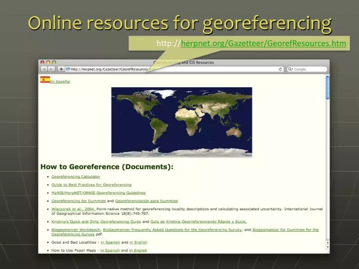
Online resources for georeferencing http://herpnet.org/Gazetteer/GeorefResources.htm
Online resources for georeferencing http://canadensys.net/digitization/georeferencing
Google Maps • http://maps.google.com • Search & directions • Free text search, zoom -dependent • Directions for travelling by car, bike, public transport and foot • Data compiled from different sources • Maps • Datum: WGS84 • Views: map, satellite (= aerial photography), terrain, Google Street View + various layers of information • Data compiled from different sources (indicated at the bottom of each map) • Third Party Plug-ins extend functionality
Google Maps - Searching Search now with suggestions
Google Maps - Viewing Satellite Maps Terrain (under ‘More’) Earth (plug-in required)
Google Maps – Street View Street View
Google Maps – Street View I collected here
Google Maps – Getting coordinates • Requires additional widgets or plug-ins • Activate LatLng Marker in Google Maps Labs • Install a mapplet like GPS Location or Position Finder in ‘My Maps > Browse the directory’. Now deprecated! • Use Canadensys LatLong Crosshairs bookmarklet: http://www.canadensys.net/georeferencing • Use Distance Measurement Tool to measure extent • Use My Maps to save markers, create maps, share with others (including kml import)
Google Maps – Getting coordinates Google Maps Labs LatLng Marker Right-click and‘Drop LatLng Marker’ (activate in ‘Labs’ first)
Google Maps – Getting coordinates Canadensys bookmarklet Click to toggle Crosshairs Pan map to change position Click to get coordinates
Google Maps – Measuring extent Distance Measurement Tool (activate in ‘Labs’ first)
Google Earth • http://earth.google.com • 3D globe desktop application • Same data as Google Maps • Datum: WGS84 • No Map or Terrain view • Similar functionalities as Google Maps • Search more limited than Google Maps (no suggestions) • Right-click and choose ‘Get Info’ for coordinates • Use ruler to measure extent • Several coordinate formats • Numerous information layers (format: kml)
AcmeMapper • http://mapper.acme.com/ • Google Maps interface • Datum: WGS84 (& NAD27) • Map, satellite, hybrid and terrain • Topo, DOQ, NEXRAD and Mapnik • Free text search not Zoom level-dependent • Markers cannot be moved, but new markers can be placed at crosshairs (click ‘Mark’) • Several coordinate formats for each marker + heading and distance from crosshairs • Saves all markers automatically
EarthTools • http://www.earthtools.org/ • Worldwide gazetteer for citiesand towns • Google Map basemaps • Great for hard to find localities, especially outside US • Datum: WGS84 • Search with country or worldwide • Provides DMS, DD, UTM coordinates • Includes contours (but spotty coverage) • Example: Qandahar or Kandahar, AF
GEOnet Names Server (GNS) • http://earth-info.nga.mil/gns/html/ • Worldwide data from NGA andUS BGN • NIMA = National Imagery andMapping Agency • Datum: WGS84 • Degrees minutes seconds,precision to nearest minute • Feature type • Used as a source for many gazetteers • For US data, use Geographic Names Information System (GNIS): http://geonames.usgs.gov/pls/gnispublic/
Geographical Name Search Service (GNSS) • http://gnss.nrcan.gc.ca/gnss-srt/searchName.jsp • Canadian data by the CanadianGeographical Names Service(CGNS) • Datum: NAD83 • Degrees minutes seconds anddecimal degrees • Feature type • Full Canadian Geographical Names datasets can be downloaded from GeoBase: http://www.geobase.ca/
Falling Rain • http://www.fallingrain.com • Worldwide gazetteer for citiesand towns • Great for hard to find localities,especially outside US • Datum: WGS84 • Degrees minutes (seconds), based on NIMA • Browse to find locality (no search) • Provides hierarchy, alternative names, topo maps, altitude, weather information and location of nearby towns in nautical miles (nm). Tip: Use Google/Chromey to translate nm into km. • Example: Qaryeh-ye Gol`alam, Velayat-e Lowgar, AF • You can also check against Statoids: http://www.statoids.com/
Getty Thesaurus of Geographic Names (TGN) • http://www.getty.edu/research/conducting_research/vocabularies/tgn/ • Worldwide gazetteer byThe Getty • Useful for finding alternativeand old names • Feature types • Geographical hierarchy • Coordinates only to minutes (or not at all)! Use recent name and search in Google Maps • Example: Big Apple, inhabited place, United States
FuzzyG – JRC Fuzzy Gazetteer • http://dma.jrc.it/services/fuzzyg/ • Worldwide gazetteer designed for bad spelling! • Useful for finding alternative, doubtful spelling,old names • Feature types • By continent • Coordinates only to minutes (or not at all)! Use recent name and search in Google Maps • Example: Narobi, Africa
UTM & MTM • UTM = Universal Transverse Mercator • Divides earth in 60 UTM zones = 6 degrees per zone • Datum: WGS84 and others • Notation: Zone Easting Northing = 17N 630084 4833438 • Zone includes hemisphere (17N) or latitude band (17T): MGRS • Default extent: 30m (if recorded with GPS receiver) • http://www.dmap.co.uk/utmworld.htm • UTM Calculator: http://bit.ly/bdxn37 • MTM = Modified Tranverse Mercator • Used in Canada: zones are 3 degrees, different codes, false easting and scale, etc. • UTM/MTM Calculator: http://bit.ly/utmmtm
UTM – 17T 630084 4833438 (CN Tower in Toronto) Equator = 0m northing 4833438m northof equator Equator = 10,000,000m false northing for Southern Hemisphere Central meridian= 500,000mfalse easting 130084m east ofcentral meridian Georeferencing workshop - Online resources - 2010.06.05 21
Public Land Survey System (PLSS) • Mainly used in the US West, Midwest and some Southern states in early surveys • System of Township-Range-Section (TRS):T13N-R14E-S15, Arizona, Coconino County • Graphical Locator: http://www.esg.montana.edu/gl/ • Translates TRS in decimal degrees • Datum: NAD27 • Determine state and meridian (BLM):http://bit.ly/bSouTw • For extents: http://manisnet.org/GeorefGuide.html
Other Resources • GPS Visualizer: http://www.gpsvisualizer.com/ • Use to translate a file with coordinates into kml or a picture • Similar: http://www.simplemappr.net/ for publications • GeoLocate: http://www.museum.tulane.edu/geolocate/ • Georeferencing desktop and web application • Useful for roads and rivers (US only) • Statoids: http://www.statoids.com/ • Information about administrative divisions (provinces, counties) and their history, area, population, codes, etc. • No coordinates! • Similar: CIA World Factbook http://bit.ly/dDtT1i • See http://herpnet.org for more…