Download
1 / 17
170 likes | 504 Views
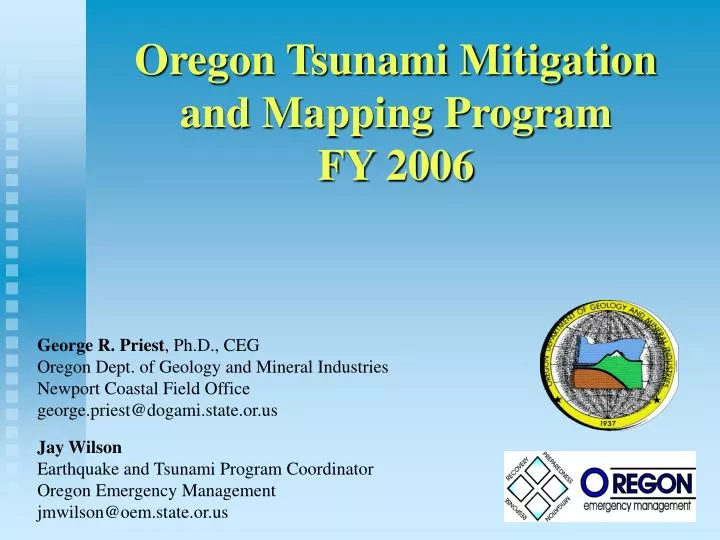
Oregon Tsunami Mitigation and Mapping Program FY 2006 George R. Priest , Ph.D., CEG Oregon Dept. of Geology and Mineral Industries Newport Coastal Field Office george.priest@dogami.state.or.us Jay Wilson Earthquake and Tsunami Program Coordinator Oregon Emergency Management

E N D
Oregon Tsunami Mitigation and Mapping Program FY 2006 George R. Priest, Ph.D., CEG Oregon Dept. of Geology and Mineral Industries Newport Coastal Field Office george.priest@dogami.state.or.us Jay Wilson Earthquake and Tsunami Program Coordinator Oregon Emergency Management jmwilson@oem.state.or.us
Accomplishments • 52 talks • 1 Congressional testimony • Reprint of 19 evacuation map brochures (205,000) • Website improved and updated • Inundation and evacuation polygons in Coastal Atlas (http://www.coastalatlas.net/index.asp ) • Evacuation time map for Seaside • Seaside outreach project • 100 signs for 6 towns • Native American historical marker sign
Native American Historical Marker Lincoln City, Oregon
Florence inundation map (in press). • Discovery of “tsunami shield” effect • Reedsport evacuation map • Installation of benchmarks - Pacific City. • 6 TsunamiReady Communities: • Manzanita, • Wheeler, • Nehalem • Lincoln City • Rockaway Beach • Tillamook County • “Neighbor-to-neighbor” at Yachats + drill
Centralized registration and organization by local government
2 “Tsunami Summits” • Cannon Beach inundation map • TIME compiles digital elevations + bathymetry • New Hydrodynamic models developed for tsunami • New Cascadia sources • 30 inundation simulations • Review + simulation of SEATOS source • Presentation of sources and initial results to officials • Prepare officials for Discovery Channel fallout • Concept proposal for Cascadia source workshop
Consultation on Native American historical marker sign location (tribes, others) • Alaska teletsunami documentary: • Video equipment purchased • Compiling contacts + historical photos • OEM hosts GAO visit to 4 communities
Population Exposure within Tsunami Hazard Zone (source: Nate Wood, USGS) City State Park SB379 Zone:22,200 residents13,853 employees
Economic Sensitivity within Tsunami Hazard Zone (source: Nate Wood, USGS) • Regional Totals • In Hazard Zone: 1,674 • City Totals: 9,180 • Regional Percentage: 18% • Regional Totals • In Hazard Zone: 13,853 • City Totals: 71,135 • Regional Percentage: 19% • Regional Totals • In Hazard Zone: $1.8 billion • City Totals: $9.5 billion • Regional Percentage: 19%
FY 2006 Objectives • Tsunami Inundation Map for Pacific City • Evacuation Brochures (2 new; reprinting) • Outreach and Education • Purchase warning system equipment for local towns (EMWIN, weather radios) • Purchase tsunami signs • Install Native American Historical Marker Sign
Seaside outreach project transfer: • Distribution of outreach materials • CD mailed free (towns and lodging facilities) • Meetings, talks, • E-mail to all building codes officials a report summarizing tsunami aspects of the Oregon Building Code (SB 379 regulations of DOGAMI). • TsunamiReady Support
Documentation of the 1964 Alaska Tsunami Impacts to the Oregon Coast • Inundation data points for field check of simulations • First-hand accounts • Produce educational video with “lessons learned” • Published report • FY 06 work: • Research tsunami witnesses and historical records • Begin interviews with witnesses • Compile historical records (photographs, maps, reports, and articles); • Create database.
$274,000 PERIOD OF PERFORMANCE January 1, 2006 through December 31, 2007