Download
1 / 2
0 likes | 12 Views
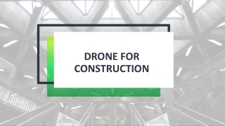
Are you wondering and asking, "Can we do the site inspection with drone technology? If so, let us tell you the pivotal role of drone mapping and modeling in construction sites for ensuring a multitude of critical measures.

E N D
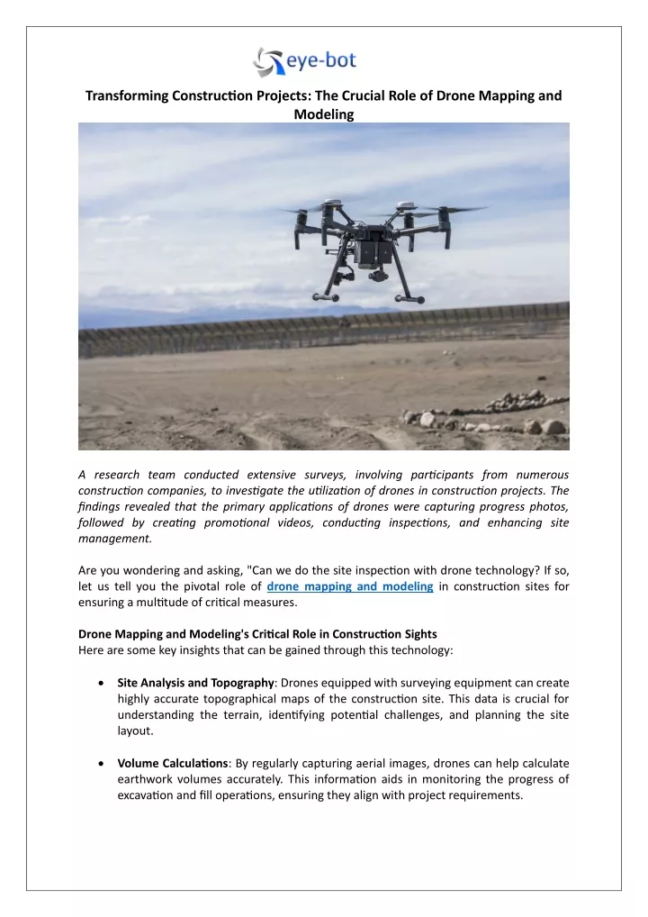
Transforming Construction Projects: The Crucial Role of Drone Mapping and Modeling A research team conducted extensive surveys, involving participants from numerous construction companies, to investigate the utilization of drones in construction projects. The findings revealed that the primary applications of drones were capturing progress photos, followed by creating promotional videos, conducting inspections, and enhancing site management. Are you wondering and asking, "Can we do the site inspection with drone technology? If so, let us tell you the pivotal role of drone mapping and modeling in construction sites for ensuring a multitude of critical measures. Drone Mapping and Modeling's Critical Role in Construction Sights Here are some key insights that can be gained through this technology: Site Analysis and Topography: Drones equipped with surveying equipment can create highly accurate topographical maps of the construction site. This data is crucial for understanding the terrain, identifying potential challenges, and planning the site layout. Volume Calculations: By regularly capturing aerial images, drones can help calculate earthwork volumes accurately. This information aids in monitoring the progress of excavation and fill operations, ensuring they align with project requirements.
Progress Monitoring: Drone mapping allows for the creation of 2D and 3D models that provide a visual representation of the construction site at different stages. This visual data helps project managers track progress, identify delays, and assess whether work is on schedule. Inventory Management: Drones can be used to track materials and equipment on- site, improving inventory management. By analyzing the data, construction teams can prevent shortages, optimize storage, and reduce waste. Safety Inspections: Drones can give you detailed views of some areas for safety inspections. They can identify potential safety hazards, ensure compliance with safety regulations, and minimize risks to workers. Quality Control: High-resolution imagery from drones can reveal fine details of the construction, helping to spot defects, deviations from design, and areas where quality may need improvement. This aids in maintaining construction standards and avoiding rework. Cost Management: By accurately measuring the progress of construction, drones assist in tracking costs and budget compliance. This information allows for more effective financial management and cost projections. As-Built Documentation: Drones can create high-precision as-built documentation, which is vital for facility management and future maintenance. This data ensures that the final project aligns with the original design and construction plans. Technologies Used By Data Visualization and Management Companies Two of the most vital technologies in this realm are photogrammetry and LiDAR data collection. Photogrammetry: It involves the collection of 3D data through photographs taken from various angles. Advanced software then processes these images to reconstruct the spatial relationships of objects and create detailed 3D models. This method is cost- effective and versatile, making it ideal for capturing intricate surface details, such as buildings, landscapes, and cultural heritage sites. LiDAR (Light Detection and Ranging): LiDAR technology uses laser pulses to measure distances and generate precise 3D representations of the environment. It is particularly useful for scanning large areas quickly and capturing fine-grained details with accuracy. Wrap Up Ready to elevate your project with 3D drone visualization or want to try 3D laser scanning services for a more detailed view? If the answer is yes, look no further than Eye-bot. Their experts use all the advanced technologies in the industry and provide a comprehensive range of services, from architectural laser scanning to confined space inspections, all under one roof. Connect with their seasoned professionals today.