Download
1 / 6
70 likes | 470 Views
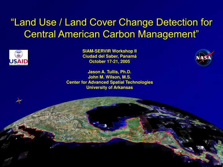
“Land Use / Land Cover Change Detection for Central American Carbon Management”. SIAM-SERVIR Workshop II Ciudad del Saber, Panam á October 17-21, 2005 Jason A. Tullis, Ph.D. John M. Wilson, M.S. Center for Advanced Spatial Technologies University of Arkansas. October 17 th , 2005.

E N D
“Land Use / Land Cover Change Detection for Central American Carbon Management” SIAM-SERVIR Workshop II Ciudad del Saber, Panamá October 17-21, 2005 Jason A. Tullis, Ph.D. John M. Wilson, M.S. Center for Advanced Spatial Technologies University of Arkansas
October 17th, 2005 • 8:30-9:30 Overview • Welcome and Introductions • Overview by Dan Irwin, SERVIR Project Manager, NASA Marshall Space Flight Center • Workshop FTP Site • ftp://ftp.cast.uark.edu/outgoing/tullis/MesoClass/ • 9:30-10:15 Principles of Remote Sensing • 10:30-11:00 Carbon Management • Steve Ogle, Colorado State University • 11:00-11:30 Software Installation in Workshop Lab • 11:30-12:00 Remote Sensor Data Management • 13:00-13:45 MesoStor • 13:45-14:15 Shuttle Radar Topography Mission (SRTM) 2000 Digital Elevation Models (DEMs) • 14:15-15:00 Introduction to ArcGIS 9.1 ModelBuilder • 15:15-16:15 Introduction to ArcGIS 9.1 ModelBuilder, cont.
October 18th, 2005 • 8:30-8:45 Goal for Workshop • Note updated “schedule.ppt” file on workshop FTP site: • ftp://ftp.cast.uark.edu/outgoing/tullis/MesoClass/ • 8:45-10:15 Optional Introduction to ArcGIS 9.1 • 10:30-11:00 Optional Introduction to ArcGIS 9.1 • 11:00-12:00 Introduction to ArcGIS 9.1 ModelBuilder, cont. • 13-13:30 Visit to CATHALAC and Photo • 13:45-15:00 Landsat-derived 1990 and 2000 Land Cover from Earth Satellite Corporation • 15:15-16:00 Manipulation of Multi-raster Displays in ArcGIS 9.1 • 16:00-16:15 Introduction to MODIS and MesoClass
Goal for Workshop LANDSAT-based 1990 2000 2000 MODIS-based LANDSAT-based maps are complete 2003 2004 2005 A major workshop goal is to make this transition by using MesoClass to classify 2000 MODIS-based land-cover for Central America MODIS-based maps are not completed
October 19th, 2005 • 8:30-8:45 Overview • Note updated “schedule.ppt” file on workshop FTP site: • ftp://ftp.cast.uark.edu/outgoing/tullis/MesoClass/ • ModelBuilder and MODIS Classification Background • 8:45-10:15 Techniques in Thematic Information Extraction • 10:30-11:00 MODIS Data Processing • 11:00-12:00 Manipulation of Multiple Remote Sensor and Ancillary Datasets in ArcGIS 9.1 • 13:00-13:15 MesoClass Classification Schema • 13:15-15:00 MesoClass – Group Unsupervised Classification • 15:15-16:15 MesoClass – Group Unsupervised Classification, cont.
October 20th-21st, 2005 • Techniques in Thematic Change Detection • MesoClass, cont. • Reference Datasets • Accuracy Assessment • MesoClass Refinement with GIS Modeling