Download
1 / 2
20 likes | 52 Views
Kerala floods: How Isro satellites are playing a key part in saving lives on Business Standard. Data provided by the satellites is helping experts to predict the level of rains till then, what to expect in the next few hours <br>

E N D
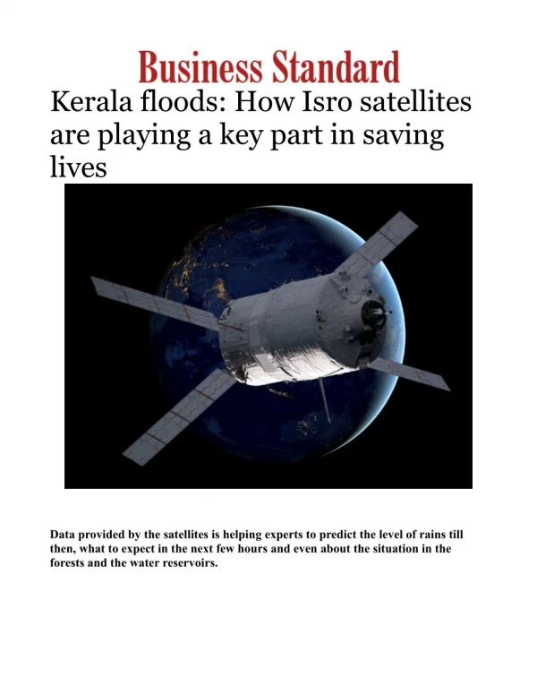
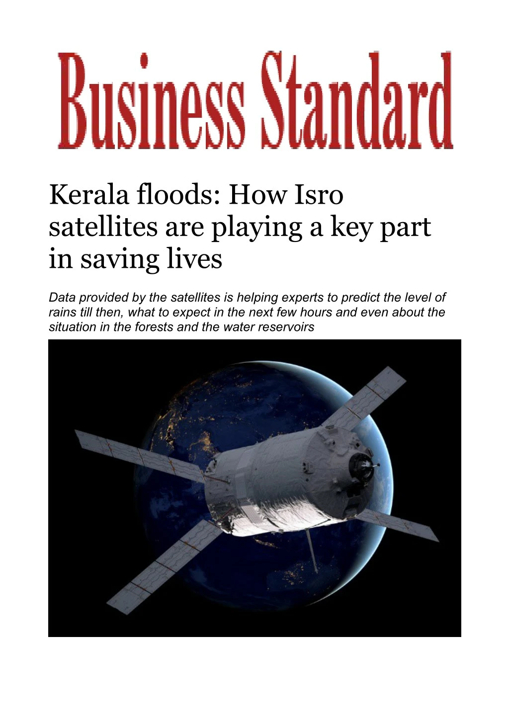
Kerala floods: How Isro satellites are playing a key part in saving lives Data provided by the satellites is helping experts to predict the level of rains till then, what to expect in the next few hours and even about the situation in the forests and the water reservoirs
Current Affairs : Even as the unprecedented floods and landslides have devastated most parts of Kerala in the last fortnight, technologically the most helpful support the authorities are getting in handling the situation was updates from Indian Space Research Organisation (Isro) and its various satellites which kept their eyes open up from the atmosphere. A set of remote sensing satellites and radar satellites has been taking pictures of various aspects of the situation in the flood-hit state from a distance of 400-800 kilometres from the Earth and sending it back with supportive data, which once crunched, helped the experts to predict the level of rains till then, what to expect in the next few hours and even about the situation in the forests and the water reservoirs. For instance, ResourceSat-2, launched on April 20, 2011, has proved to be helpful in taking pictures on the forestry and normal terrain and how the water bodies are while ScatSat-1 can track the wind, how it flows over the sea and over the land which helps to forecast the weather. Insat 3DR, another satellite together with others can communicate how clouds are positioned and with the help of ScatSat-1, experts can come to a conclusion on how fast they are moving considering the wind speed. Insat satellites, which are geostationary, would send data in every half an hour from the atmosphere, which can give an update to the ground station. "Satellite plays important role in detection and monitoring of flood situations over large regions. Optical remote sensing from geostationary platform (Insat-3D/3DR) provides rapid and valuable information on cloud patterns and meteorological parameters (rainfall); however, unable to image the surface water conditions in presence of cloud," says Isro. Microwave remote sensing techniques have a unique advantage in which electromagnetic radiation penetrate the clouds and senses the surface hydrological characteristics. The data from ScatSat-1 (launched by PSLV-C35 on September 26, 2016) was used for the detection of the flood situations over India. ScatSat-1 is a continuity mission for Oceansat-2 Scatterometer for Ocean weather forecasting, cyclone detection, and tracking. ScatSat-1 observations in Ku-band for backscattering and brightness temperatures have been analyzed for...Continuous Reading