Download
1 / 5
50 likes | 65 Views
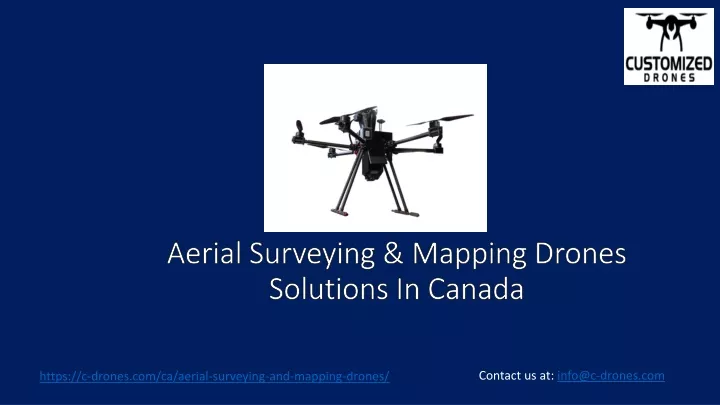
C-Drones provide custom-built drone solutions for Aerial Mapping/ Surveying in Canada to reduce field time and survey costs, provide accurate and exhaustive data, map otherwise inaccessible area, Capture High-resolution Images &cover large areas quickly from different angles, and much more. Learn more: https://c-drones.com/ca/aerial-surveying-and-mapping-drones/<br>

E N D
Aerial Surveying & Mapping Drones Solutions In Canada Contact us at: info@c-drones.com https://c-drones.com/ca/aerial-surveying-and-mapping-drones/
Aerial Surveying & Mapping Drones In Canada Customized drones • We design drones to: • Monitor construction progress regularly • Reduce risk and accidents • Easily mitigate risk and manage the sites • Better track a project’s progress, manage resources, reduce downtime, and keep CANADA projects on schedule and within budget. • Contour Map • Distance & Volumetric using optical or LIDAR scanning. • Easy calculation of distance, perimeter, or volume Email: info@c-drones.com https://c-drones.com/ca/aerial-surveying-and-mapping-drones/
Key Customized Features 2 Email: info@c-drones.com https://c-drones.com/ca/aerial-surveying-and-mapping-drones/
Advanced Features 3 • Controlled by Mobile Application • Advanced parachute system for public safety • High Speed Collision Avoidance via Video Analytics. https://c-drones.com/ca/aerial-surveying-and-mapping-drones/ Email: info@c-drones.com
For more Info Contact Us : • https://c-drones.com/ca/aerial-surveying-and-mapping-drones/ • info@c-drones.com • Dubai, UAE • +971506582740
