Download
1 / 14
140 likes | 402 Views
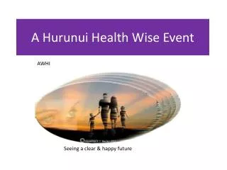
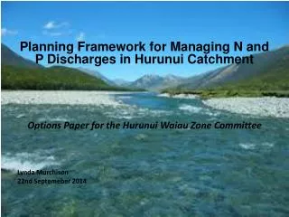
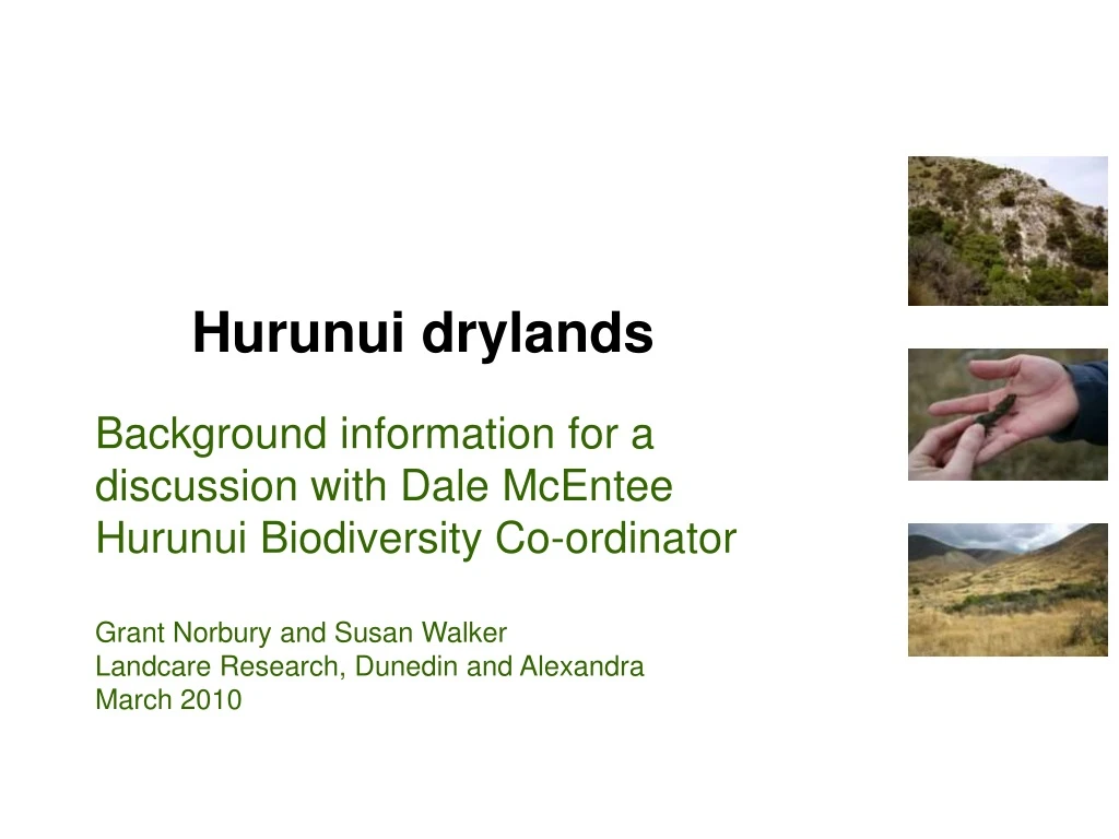
Hurunui drylands. Background information for a discussion with Dale McEntee Hurunui Biodiversity Co-ordinator Grant Norbury and Susan Walker Landcare Research, Dunedin and Alexandra March 2010. Drylands of Canterbury. Canterbury drylands. SOUTH ISLAND ENVIRONMENT TYPES

E N D
Hurunui drylands Background information for a discussion with Dale McEntee Hurunui Biodiversity Co-ordinator Grant Norbury and Susan Walker Landcare Research, Dunedin and Alexandra March 2010
Drylands of Canterbury Canterbury drylands SOUTH ISLAND ENVIRONMENT TYPES Southern and inland environments G: Inland southern South Island basins and valley floors H: Mackenzie Basin and Central Otago hillslopes Northern and coastal environments D. Coastal Marlborough and Kaikoura Coast E: Marlborough and North Canterbury hillslopes F: Canterbury Plains, Banks Peninsula and Otago inland basin alluvium and loess
Drylands of Canterbury Canterbury drylands SOUTH ISLAND ENVIRONMENT TYPES Southern and inland environments G: Inland southern South Island basins and valley floors H: Mackenzie Basin and Central Otago hillslopes Northern and coastal environments D. Coastal Marlborough and Kaikoura Coast E: Marlborough and North Canterbury hillslopes F: Canterbury Plains, Banks Peninsula and Otago inland basin alluvium and loess
TOTAL LAND AREA OF CANTERBURY Facts & figures for Canterbury Districts INDIGENOUS VEGETATION LOSS 50.1% DRYLAND REMAINING PREDOMINANTLY INDIGENOUS ECOSYSTEMS 23.3% cleared 84.2% cleared REST OF CANTERBURY CANTERBURY DRYLANDS
TOTAL LAND AREA OF HURUNUI DISTRICT Facts & figures for Hurunui District INDIGENOUS VEGETATION LOSS 54.3% DRYLAND REMAINING PREDOMINANTLY INDIGENOUS ECOSYSTEMS 16.8% cleared 86.2% cleared REST OF HURUNUI DISTRICT HURUNUI DRYLANDS
TOTAL LAND AREA OF CANTERBURY Facts & figures for Canterbury Districts PROTECTION 50.1% DRYLAND PERCENT LAND AREA LEGALLY PROTECTED (public + private) 37.9% protected 1.5% protected REST OF CANTERBURY CANTERBURY DRYLANDS
TOTAL LAND AREA OF HURUNUI DISTRICT Facts & figures for Hurunui District PROTECTION 54.3% DRYLAND PERCENT LAND AREA LEGALLY PROTECTED (public + private) 37.0% protected 1.3% protected REST OF HURUNUI DISTRICT HURUNUI DRYLANDS
Threatened Environment Classification For each LENZ Level IV environment, the classification shows how much indigenous cover is left & how much is protected
What? • Combination of 3 national datasets • Divides country into 6 threat categories based mainly on: past loss of indigenous vegetation (% indigenous cover left) but also on: current legal protection (% protected)
Threatened environments based on indigenous cover left, no matter how much protected based on indigenous cover left (>30%) left AND how much protected
Canterbury Region LENZ level 4 % Protected Threatened Environment Classification % Indigenous cover left
Drylands All of NZ Acutely Threatened Chronically Threatened At Risk Critically Underprotected Underprotected No threat category
Threatened Environment Classification (Hurunui District)
Threatened Environment Classification (Hurunui District Drylands only)